NavAssist
marine navigation software for inshore + offshore racing · web + offline app · co-creator & builderproblem
A csv is the best way to represent data in a fast paced environment - said no one ever. Weather changes, often and continuously. For professional sailors being up to date with the newest information quickly and clearly is imperative. How do you communicate to the rest of the crew nav changes when they happen mid race? How do we brief the team the night before with the routing plan? How do we share updates during an offshore race with no internet connectivity?
approach
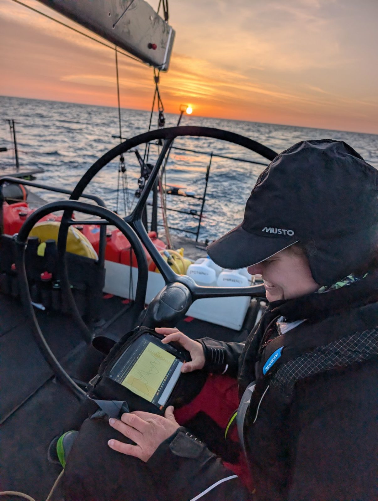
Expedition does the routing; NavAssist takes its csvs and meteograms and represents them in a clear, configurable way. For coastal and offshore races: the route mapped alongside the weather data you choose to plot, tidal vectors to show where the gates are, sail analysis showing which sails the route calls for and for how long, and a Windy overlay for the big picture. For inshore: meteograms for a location, models compared, concise and easy to share. The offline app, hosted on one device, shares across the boat network to any other device via QR code or url. Responsive to its core — built for 32 inch monitors and iPhones alike.
build
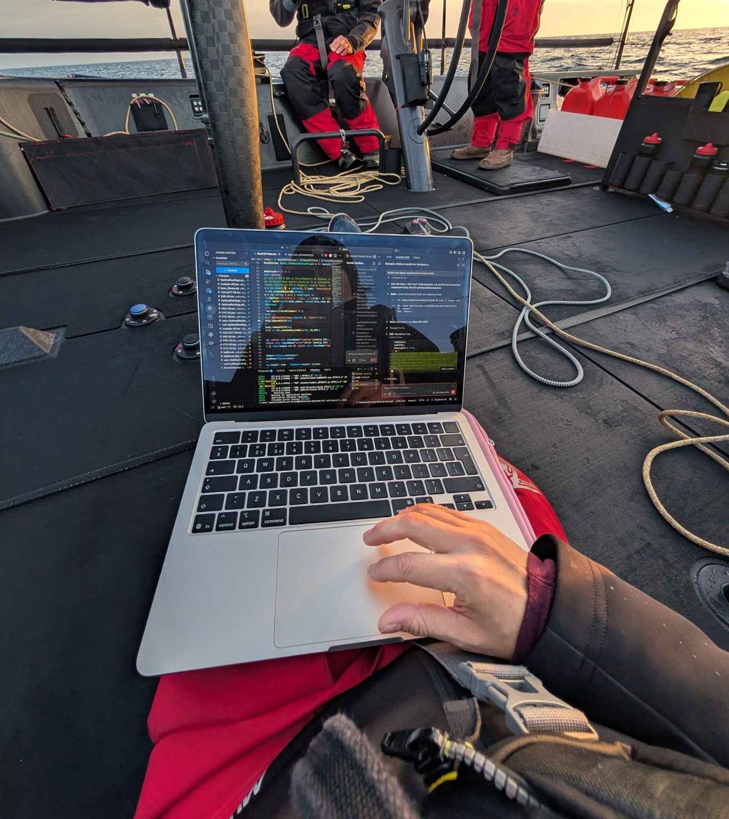
Same codebase ships two ways: a hosted app, and one signed, notarised double-clickable binary per platform that bundles Python, the built front end and its own database, for use in offshore or inshore racing.
stack